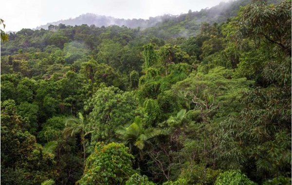
Journey to the Hidden Heights of the World’s Forests
ESA’s cutting-edge Biomass mission is designed to shed new light on the health and dynamics of the world’s forests, reveal how they change over time, and most importantly, enhance our understanding of their role in the global carbon cycle.
It is the first satellite to carry a fully polarimetric P-band synthetic aperture radar for interferometric imaging.
Thanks to the P-band’s long wavelength of approximately 70 centimeters, the radar signal can penetrate the forest canopy and measure the “biomass” — the woody trunks, branches, and stems where most of the carbon in trees is stored.
The forests of Earth are vital not only for their biodiversity but also as a major carbon reservoir that regulates the climate. Organic structures like tree trunks, branches, and leaves form a material called “biomass,” which includes organic matter from plants and animals. Between 70% and 90% of the planet’s above-ground biomass is found in forests, with the highest concentration in tropical regions.
The Critical Link Between Forests and Climate
Forests absorb carbon dioxide (CO₂) from the atmosphere, storing the carbon in their tissues. However, when trees are cut down or burned, the stored carbon is released back into the atmosphere as carbon dioxide. Thus, forests can act both as carbon sinks and potential carbon sources.
Knowing how much carbon forests store is crucial for tackling climate change. Yet, especially for tropical forests, we lack accurate and comprehensive data about carbon stocks. This data gap makes it harder to fully understand the carbon cycle and develop effective climate policies.
The Biomass Mission: Observing Forests from Space
The Biomass Satellite Mission, developed by the European Space Agency (ESA), is designed to fill this major knowledge gap. Equipped with a special radar wavelength — the P-band — this satellite can penetrate the forest canopy and gather detailed data about the structure, height, and density of trees.
Thanks to the information provided by Biomass, we will be able to:
Measure how much carbon different forest types store,
Monitor how these amounts change over time in great detail.
Beyond Forests
The Biomass mission is not limited to carbon measurements. It will also:
Track glacier movement speeds, contributing to climate models,
Reveal underground geological structures in deserts, allowing us to study ancient riverbeds and lakes,
Map landforms hidden beneath dense vegetation, unlocking previously inaccessible data.
This versatile dataset will be a valuable resource not only for environmental scientists but also for geologists, climate scientists, and archaeologists.
Understanding and Protecting the Future
The data obtained from the Biomass satellite will enable better-informed decisions in the fight against climate change. It will also contribute to the development of scientifically grounded approaches for the sustainable management of forest resources.
In conclusion, by observing nature from space, we can better understand it, protect it, and take stronger steps toward securing our future. The Biomass mission marks an important scientific step on this journey.
Source: Video: Lifting the canopy on Earth’s forests
Hidden Forests Found Deep Beneath The Ocean Cover Twice The Area of India