Could Ancient Ice Layers Explain Mars’ Mysterious River Valleys?
Rivers on an Icy Mars: A New Understanding of Water Flow Under Ice
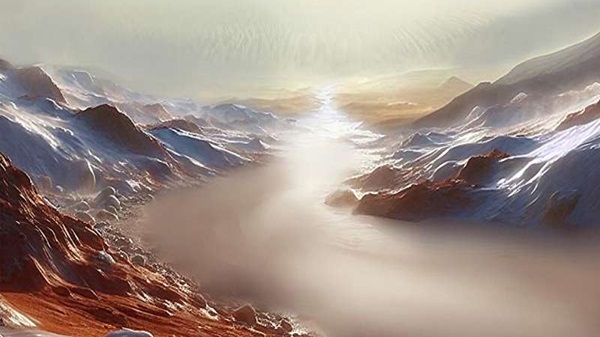
New research published in the Journal of Geophysical Research: Planets reveals that on a frigid, ancient Mars, rivers flowed, and a lake as vast as the Mediterranean Sea swelled under thick ice ceilings. This study, led by Peter Buhler of the Planetary Science Institute, suggests that approximately 3.6 billion years ago, carbon dioxide froze out of Mars’ atmosphere. This layer of carbon dioxide acted as a blanket over the polar water ice, trapping heat from Mars’ interior and raising pressure on the ice cap. This led to large-scale melting and flow of water across the Martian surface, all without a warmer climate.
Mars’ Ancient Water Cycle: The Role of Carbon Dioxide and Regolith Exchange
Buhler’s research builds on his previous models of modern carbon dioxide cycles on Mars. By extending these models to include Martian regolith—the layer of sand and rocks on the surface—he was able to simulate the full carbon dioxide cycle, including interactions between the regolith, the atmosphere, and polar ice caps. This new perspective provides insight into a critical period in Mars’ history, explaining major landscape features without the need for a warmer ancient climate.
Mars’ Tilt and the Carbon Dioxide Cycle: Atmospheric Movement Influenced by Polar Ice
The carbon dioxide cycle on Mars is governed by its rotational tilt, which shifts every 100,000 Martian years. When Mars rotates with a near-vertical tilt, carbon dioxide escapes from the regolith and deposits on the polar water ice cap, insulating it further. As the tilt increases, however, more sunlight reaches the poles, causing the carbon dioxide to transform back to gas and reabsorb into the cooler regolith. This dynamic still shapes Mars today, but Buhler’s model suggests that similar processes shaped the Martian landscape billions of years ago, especially when Mars had a thicker atmosphere.
The Formation of Martian River Valleys: A Self-Sustaining Cycle of Meltwater
Buhler’s model indicates that under the weight of carbon dioxide and water ice layers, water melted from the base of the polar ice caps. This meltwater permeated the surrounding Martian crust, freezing as permafrost near the ice sheet’s edges. The water then had only one way to escape: it flowed between the ice sheet and the rocky surface below, forming subglacial rivers that carved valleys and created eskers—gravel ridges left by ancient rivers.
Ice-Topped Rivers and the Filling of Argyre Basin
As the rivers reached the edge of the ice sheet, they oozed slowly, forming ice-capped rivers that eventually filled the Argyre Basin, a massive basin comparable in volume to the Mediterranean Sea. Over tens of thousands of years, these rivers stretched for thousands of miles before finally overflowing. This overflowing process may have repeated multiple times over millions of years, creating a lasting geological impact on Mars’ surface.
A Self-Consistent Model for Mars’ Ancient Hydrology
This model offers a compelling explanation for Mars’ ancient river valleys and eskers without invoking mysterious climate warming events. Buhler’s findings suggest that a pole-to-equator hydrologic cycle—driven by sublimation and the carbon dioxide cycle—may have influenced Mars’ late-stage hydrologic activity. As Buhler continues to test his model, it could revolutionize our understanding of water on Mars, showing that a climate-independent process was responsible for the dramatic landscape we observe today.
Source: Could Ancient Ice Layers Explain Mars’ Mysterious River Valleys
Ekzomonlar Kozmik Tarihi Değiştirebilir mi? JWST İlk Öteayını mı Keşfedecek?
Ekzomonlar Kozmik Tarihi Değiştirebilir mi? JWST İlk Öteayını mı Keşfedecek?